Today, Avy and I walked three miles along the Skunk River Water Trail, which I learned stretches for thirty-two miles from Story City to south of Huxley. (Map, next-to-last pic.)
Avy and I set off from a parking lot down the road from the historic site of Soper’s Mill.
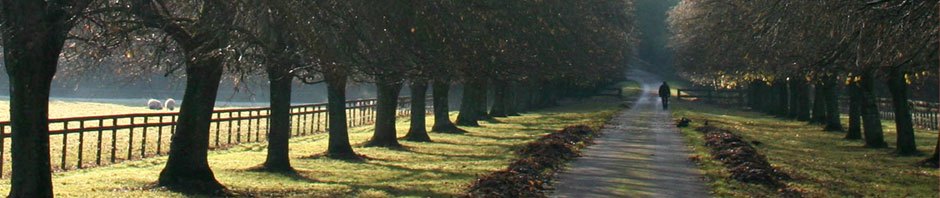
The terrain similar to my walk last week, I wondered what I’d photograph.
And then, we discovered a dilapidated bridge stretching over the Skunk. And of course, there were a few other photo ops along the way.
Winter Textures Along the Skunk River

Wooden bridge, bending and buckling until it becomes part of the woods again.

Winding into the woods

Poor old bridge

The river, winding on, unconcerned with the state of the bridge.

I hope there’s another crossing.

Tangled angles and textures.

Avy The Nose catches the scent…of something!

A bright white streak on the forest floor. Who lost this?

An entirely different bridge, with its modern, metal framework. No dilapidated, wooden maze, this.

Skunk River Trail map

Soper’s Mill history


I enjoyed your Skunk River photo essay, as that is the way I like to shoot things, in a essay format showing different angles,, closeups, wide views to give a more complete understanding of the experience. Usually from 4-6 shots or as many more as I may feel compelled to capture!
Thank you, Bob! And I enjoy your photos on Facebook, and have missed you during your absence. Thank you for visiting my website. Cheers!
Pingback: Fairfield Thanksgiving Loop Photo Essay | Ana McCracken